Geospatial Data Carpentry Videos
TL;DR
Instructors at the University of Wisconsin (at both Madison and Milwaukee) recorded videos of the Geospatial Data Carpentry Workshop They then held discussion sessions over the course of a week to discuss the videos the learners had watched Learners really enjoyed this setup and gave really good feedback. Instructors are still working on setting expectations about the setup better.
The Setup
Since mid-March, when the University of Wisconsin-Madison campus announced it would be temporarily closing, exploring methods for successfully teaching interactive coding workshops has been a continual discussion among our local community of Carpentries instructors. As The Carpentries staff like to say, the transition to online workshops has been a “chopportunity” (challenge-opportunity).
We finished the semester and started our line-up of summer workshops using a synchronous teaching model, with the instructor live-coding and sharing their screen over Zoom for the learners to watch and code alongside the instructor. However, we deviated from this for the Geospatial Data Carpentry workshop, trying a semi-asynchronous model that took inspiration from a flipped classroom format.
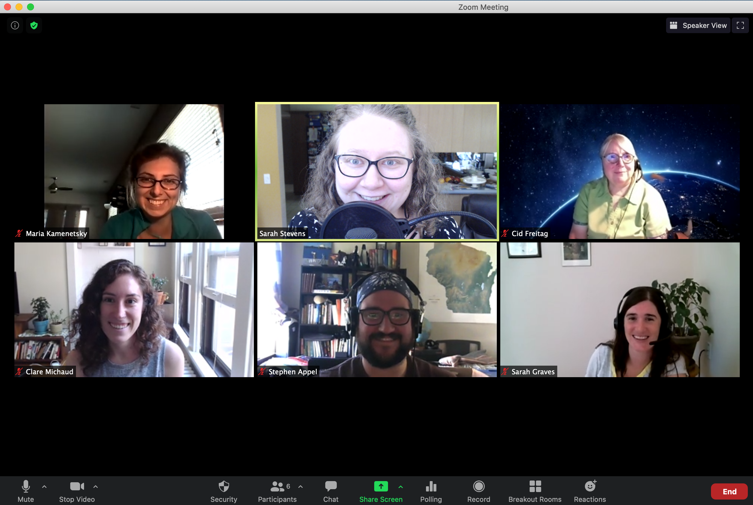 screengrab shows six instructors in the workshop
Beginning in May, a group of six instructors (Stephen Appel, Cid Freitag, Sarah Graves, Maria Kamenetsky, Clare Michaud, and Sarah Stevens) from UW-Madison and UW-Milwaukee met each week virtually to work on modifying the existing geospatial lessons for the workshop, which include an introduction to the concepts behind working with geospatial data, as well as how to work with both raster and vector data types in R. We hosted this workshop in-person last year, and used feedback from a year ago to guide the changes that we made this year.
We made a fork of the existing lessons to edit so that the videos would mostly match the written-out lessons hosted on our organization’s GitHub. We also simplified the data structure, removing the files associated with the lessons that we chose to omit.
To present the materials for an asynchronous format, we recorded each episode of the lesson as its own video; this way learners would be able to learn the materials at their own pace. This helped to ensure that the content was presented in digestible chunks, and helped us to more easily divide the content to be learned over the course of five days, rather than a two-day workshop.
Something that we decided early on in planning all of our now-virtual workshops is to teach the workshop content over four or five days, hosting half-day sessions. It can be draining to sit in front of a computer, on a video call, for two full days; we’ve found that using a more dispersed schedule is better for the energy of both instructors and learners so that they can effectively deliver and absorb the material, and actively participate. For the Geospatial Data Carpentry workshop, we held one-hour discussion sessions every day for a week. We wanted to keep these discussion sessions small and be flexible about the time of day so we offered two time slots each day: one in the morning, and one in the afternoon. Attendees selected their preferred meeting time when they registered for the workshop. When hosting virtual workshops we try to keep the workshops at about half of the capacity than we typically allow—under 20 learners rather than 35-40. Hosting two discussion sections allowed us to open registration to slightly more learners. Another motivation to have two smaller discussions was rooted in being able to have rich, helpful conversations in each group and to be able to give enough attention to any questions that came up.
With using a flipped classroom format, the learners were expected to watch a subset of the videos in preparation for each day’s discussion. The discussions provided an opportunity for instructors to go over the key concepts in that day’s content, give learners additional challenges to work on, and for learners to ask questions about the content they were to have worked through for that day. Each day, we gathered on Zoom and used a Google Doc (in lieu of an Etherpad) to share the agenda, links, and notes. No two days of discussion were structured exactly the same: the instructor responsible for each episode planned their own discussion, and the nature of the content informed the discussion’s structure. For example, the episodes that focused on introductory concepts yielded more conversation about students’ experiences working with raster and vector data, whereas the technical episodes allowed for additional challenges during the discussions sessions.
Feedback
We solicited feedback from the students at the end of each discussion, in addition to asking for overall feedback about the whole workshop. Especially when piloting new material and new workshop formats, we’re always interested for feedback on the lesson content and on how it’s delivered. The feedback was mostly positive: many learners indicated that they appreciated being able to go through the lessons at their own pace and then convene as a group to discuss what they’d learned. This structure allowed for learners who work full-time during the day to participate without taking time off of work; it was also a more flexible structure for parents with children at home, who are not always able to dedicate half of a day to attending a workshop.
Some of the feedback we received noted that our explanation of the workshop structure wasn’t totally clear in the emails that we sent out prior to the workshop starting. The instructions could have been more explicit about where to watch the videos and that they could also learn by reading through the lesson webpages. At the first discussion, some learners were unaware that they should have watched the first set of videos ahead of time.
Learners were generally very happy with the content that they learned, and left the workshop feeling like they had learned exciting and applicable new skills. Some of the feedback that we received after the first day of the workshop noted that the students were excited to delve into learning R for geospatial data.
Next time
We plan on applying the feedback that we received from this workshop to all future workshops. We have been interested in creating more videos for specific lessons in order to share more reusable teaching materials, and the feedback that the learners liked the workshop’s self-guided structure motivates us to pursue that. Our set-up instructions have become more specific since switching to an online format, but we could have been more specific about students needing to work through the lessons on their own before each day’s discussion. In order to continue to host successful workshops, we need to ensure that everything is logistically smooth, and that we are setting learners up for a successful overall workshop experience.
We plan to host this again in Spring 2021 at the University of Wisconsin-Milwaukee and have already started working on edits to the format based on learner and instructor feedback. If you have any questions about running this version of Geospatial Data Carpentry at your institution or using this format, please send an email to facilitator@datascience.wisc.edu.